
Geoelectrics
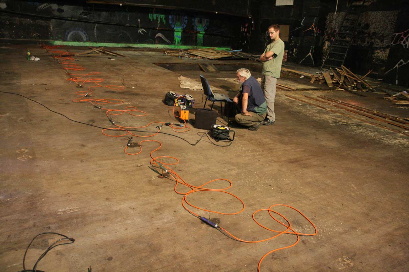
In principle, we divide geoelectric methods into direct current methods and methods using alternating (or electromagnetic) electric fields. The most common parameter to be monitored is the specific resistivity of the rock, its permittivity, or the ability to generate spontaneous electric fields. Measurement of rock resistivities is one of the most effective survey methods. The harder the rock is or contains less water, the higher the resistivity we can expect. Apparent resistivities can be measured on the one hand by relatively simple four to five electrode arrays or via sophisticated multi-electrode systems controlled by a computer (so-called electrical resistivity tomography).
Electromagnetic methods detect very well mainly artificial conductors (engineering networks) or tectonic lines (i.e. natural conductive structures), or resistivity interfaces. The nature of the used instruments generally allows quick measurements with low demands on the number of workers.

What methods we use?
A typical method is the very long frequency (VLF) method. In this method, we monitor the deformation of the field of long-wave transmitting stations (mostly military).
G IMPULS Praha uses a modern dipole measurement system with the GEM-2 device. Electromagnetic methods also include the georadar method, which is based on monitoring the reflections of radar waves at interfaces, which differ in their permittivity. The method detects artificial objects stored in the ground, monitors geological interfaces or searches for places with a contaminated environment. The real depth range of the method in our conditions is around eight meters.
The use of the radar method for railway and road construction is well developed in the Czech Republic. Tasks for forensic purposes or archeology are no exception.