
Gravimetry
Gravimetry monitors in detail changes in the gravitational field of the Earth. The result of the processing is the gravitational effect of density anomalous objects in the subsoil (values of the so-called Bouguer anomaly).
Based on the knowledge of the values of the Bouguer anomaly on the profile or in the area, it is possible to compile a density model of the investigated environment. Areas with reduced density are manifested by local minima, objects with increased density are manifested by local maxima. The method can be used for geological purposes (mapping of fracture zones, tectonic faults, for determining the thickness of sedimentary basins), for detection of cavities (caves, cellars, mining works, washed caverns around sewers, etc.), for control of compaction and homogeneity of high embankments and dams, etc. We also specialize in underground gravimetric measurements.
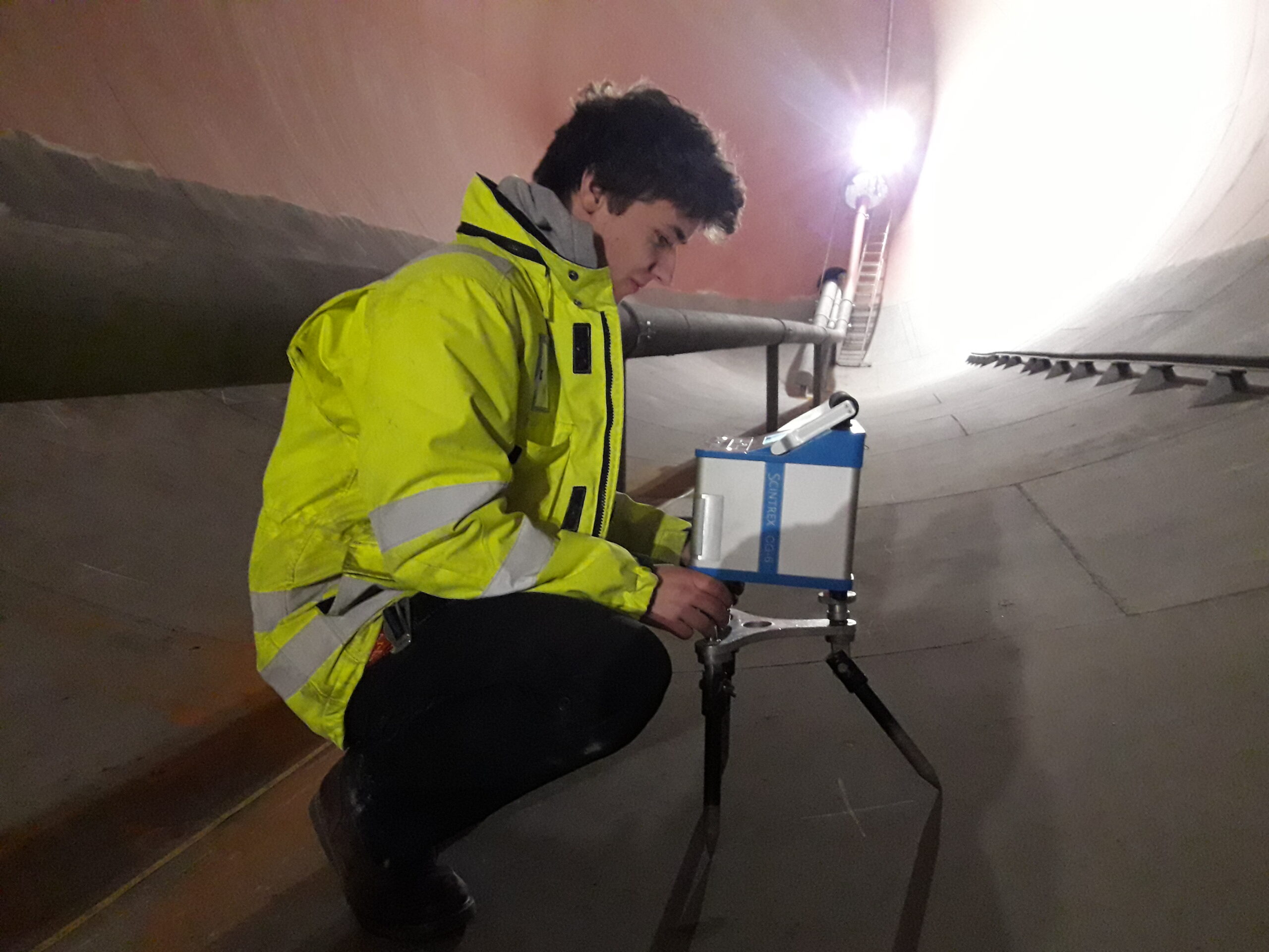

Repeated gravimetric measurements
Using repeated gravimetric measurements, it is possible to monitor the development of rock mass loosening around mine workings and tunnels. For such measurements, we use the state-of-the-art CG6 gravimeter by SCINTREX (Canada), which has excellent measurement repeatability. The device allows reading to tenths of microGals, the measurement error is in the order of several microGals.