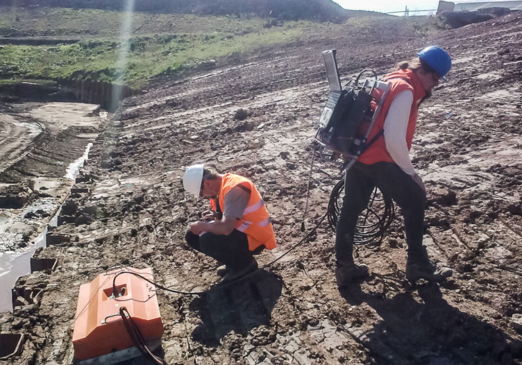
GPR measurement on the foundation ditch of a planned quay
Able Seaton Port:
QUAY 6 – Geophysical Survey
Client:
ABLE UK Ltd
Duration:
2014
Goals of the project:
The aim of the geophysical survey of the ABLE Seaton Port construction site in England was to detect man-made structures (remnants of foundations, utilities, etc.) and larger boulders shallow below the surface that could affect (limit) the course of driving piles for overseas ship docks. The assignment was solved using a combination of georadar, magnetometric and slingram (DEMP) methods. The customer's assignment was successfully completed.