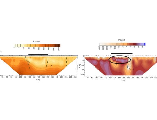
Graph of dipole resistivity profiling and seismic reflection cross-section. Example of the results of a geophysical survey from the area of the Blaty River Basin, Příkazy site, which provided mainly information on the tectonic structure of the area.
Recalculation of the groundwater reserves:
Spatial complex geophysical measurements in selected hydrogeological regions
Client:
Czech Geological Survey
Duration:
2014 - 2015
Goals of the project:
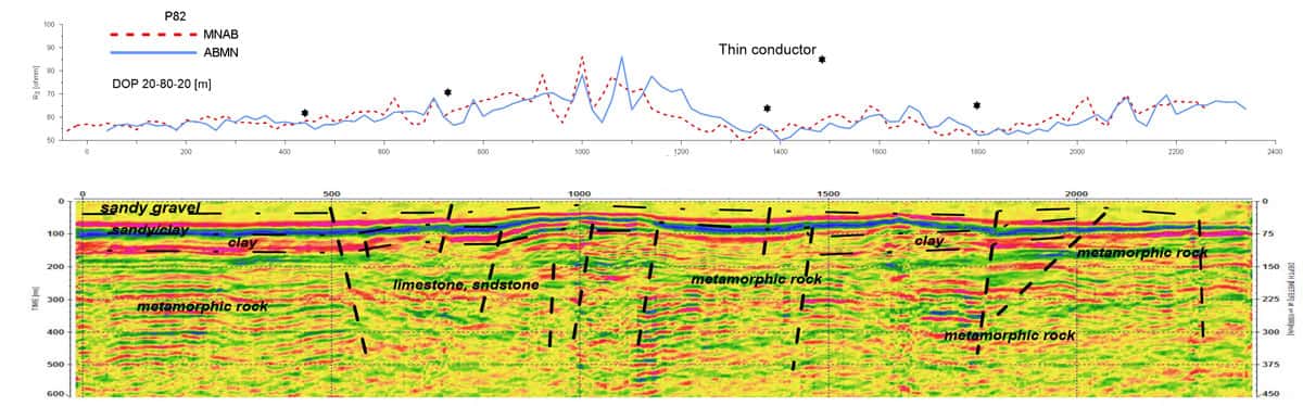
The subject of the assignment is a geophysical survey in selected hydrogeological regions with the aim of specifying hydrogeological knowledge for the rebalancing the water resources in the Czech Republic. A complex of geophysical methods was used in the measurement, mainly geoelectric and seismic methods. A total of 11 sites were measured.